


California braces for more towering waves as powerful storms approach
California braces for more towering waves as powerful storms approach

Maanvi Singh Mon, November 16, 2026 at 10:59 PM UTC
0
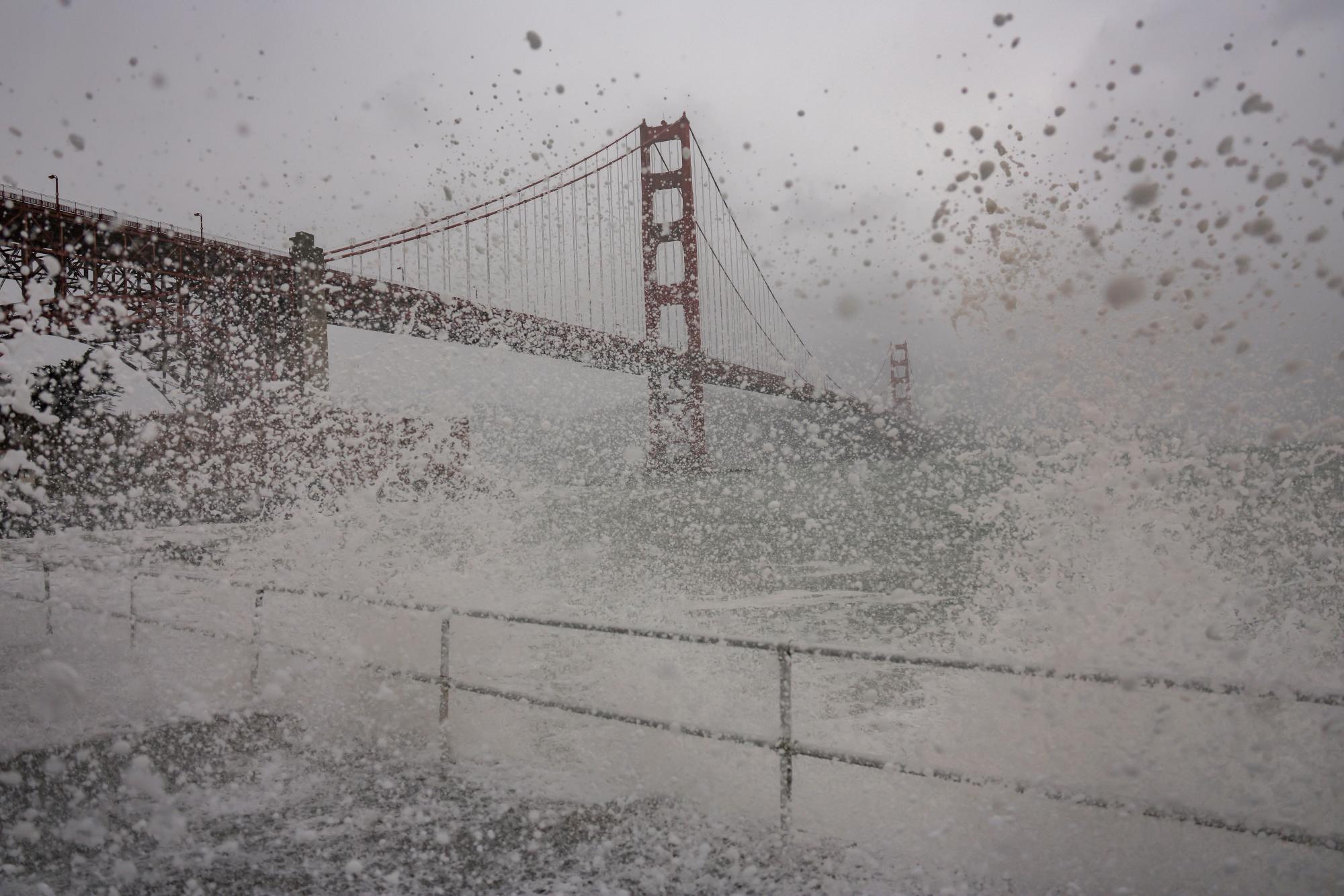
Waves crash at the Golden Gate Bridge as the Bay Area experiences heavy rainfall and strong winds on 13 November in San Francisco.Photograph: Heather Diehl/Getty Images
The massive, 50-ft swells along California’s coast this weekend foretold an intense week of towering waves to come.
Officials from the National Weather Service (NWS) had issued advisories for long stretches of the California coast, warning people that erratic and unpredictable waves could quickly overpower anyone nearby. The highest waves – which reached 50ft to 60ft (15.24 to 18.29 meters) – cracked along the popular Mavericks surf spot in San Mateo county, south of San Francisco.
In the coming days, officials said weather models are predicting more storms, this time coming from a more westerly direction that could expose slightly different parts of the coast to monster waves – which could peak around 20ft (6.1 meters).
High surf and coastal flood advisories were in effect throughout the weekend, and about 270 homes in Santa Cruz county were under evacuation warnings. Meanwhile on Monday, a local spotted two waterspouts emerging from the San Francisco Bay – shocking residents. Officials said these spouts did not move offshore or cause any damage.
Even more rain and high surf are expected to follow. “It’s going to be a busy couple of weeks – be ready,” said Brian Garcia, a meteorologist from the NWS.
Advertisement
The low-pressure system that brought rain across the Bay Area on Sunday will be followed by large waves on Monday night. Rare tornado warnings were in effect for parts of Santa Cruz county through Monday afternoon.
Midweek, a powerful storm building along the Pacific is expected to bring between 1.5in and 6in (3.81cm to 15.24cm) of rain across the Bay Area as well as fierce winds of up to 50 miles per hour (80.46 km/h).
Huge waves usually accompany a strong El Niño – and this year’s is predicted to be the strongest ever recorded, with global implications. El Niños are a naturally recurring phenomenon where the eastern Pacific temporarily heats up, causing global changes in weather patterns. Some research suggests that global heating is making El Ninõs more powerful. Scientists have also warned that the current, record-setting El Niño will be a “risk multiplier” – warping global weather patterns that have fueled wildfires and crop failures in Indonesia, coastal inundation in the US, severe drought in Sudan, and severe flooding in several countries.
In California, officials are expecting coastal wells, but also more intense storms and erratic weather through the next several months.
This week, the two Pacific storms are expected to impact not only the coast but huge swathes of the eastern US, bringing gusty winds, rain and heavy mountain snow in the Sierra Nevadas, according to NWS.
Source: “AOL Breaking”
